What the case is about
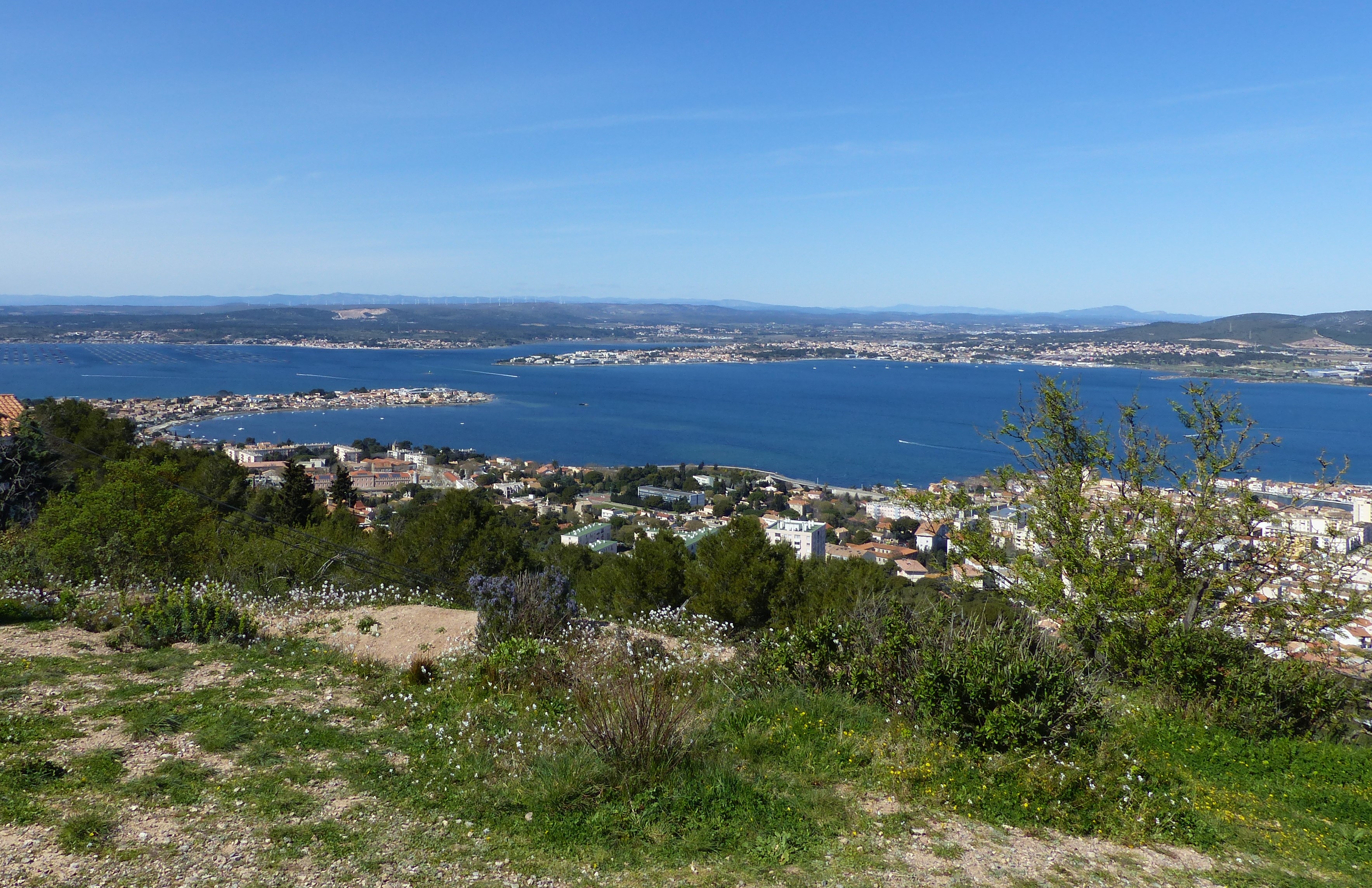
The Etang de Thau territory is located in the south of France, on the Mediterranean coast. This site is approximatively 70 000 ha and provides a great summary of the diversity of Mediterranean landscapes, between land and sea, coastal plain and wooded reliefs, among lagoons, wetlands and agricultural plains. Within this case study site, several protection and conservation actions have been taken, such as the classification of large part of the territory as Natura 2000 sites. However, this highly attractive area is subject to strong demographic pressures and urban sprawl and projections for 2030 predict this territory to have one of the fastest growing populations in France. The territory of Thau is equiped with a single institution (SMBT – Syndicat Mixte du Bassin de Thau) that conducts an integrated land management plan (SCOT – Schéma de COhérence Territoriale). Collaborating with our research team for several years, the SMBT relies on ecological analyses to complete this management plan.
How IMAGINE addresses the problem?
The study will provide a better understanding of landscape connectivity within the Thau territory by: (1) performing an analysis on structural connectivity and the spatial arrangement of Green/Blue and Grey infrastructures and, (2) analysing the factors that promote or impede the mouvement of animal species. Such approach may help the SMBT and local stakeholders to better take into account green-blue values while anthropogenic pressures arise.